Solo Hiking Safety: The Satellite Tech and Emergency Gear That Can Save Your Life

Last year, 327 hikers were rescued from wilderness areas in the US alone — and those are just the ones who had the means to call for help. Your phone has zero bars 5 miles into the backcountry. If you twist an ankle, encounter a bear, or get caught in a flash storm, the only thing between you and a life-threatening situation is the gear in your pack. This guide covers the technology that turns a solo hike from reckless to responsible.
Key Takeaways
Solo hiking safety follows a three-layer pyramid topped by satellite communication: a device like the Garmin inReach Mini 2 (3.5 oz) works on the Iridium network covering 100 percent of Earth.
- Top priority: a satellite communicator is the non-negotiable safety layer when phones have no signal.
- Coverage: the Iridium network reaches 100% of Earth, including oceans, poles and deep canyons.
- Rescue time: average response after activation is 4 to 6 hours in developed countries.
- Navigation: a dedicated GPS runs 16+ hours and survives drops, rain and cold that kill phones.
- Three layers: communication, navigation and emergency shelter, in that order of priority.
The Solo Hiking Safety Pyramid
Think of safety gear in layers, just like clothing. Each layer addresses a different type of emergency:
| Layer | Protects Against | Essential Gear |
|---|---|---|
| 1. Communication | Being lost, unable to call for help | Satellite communicator, PLB, GPS |
| 2. Navigation | Getting lost, wrong trail | GPS device, compass, offline maps |
| 3. Shelter | Hypothermia, exposure, storms | Emergency bivvy, space blanket |
| 4. Light | Darkness, benightment | Headlamp + backup light |
| 5. Water | Dehydration, contaminated water | Water filter, purification |
| 6. First Aid | Injuries, bites, bleeding | Wilderness first aid kit |
| 7. Power | Dead devices | Power bank, solar panel |
Layer 1: Satellite Communication — Your Lifeline
Get Your Free 12-Week Training Plan
Join 2,500+ Nordic walkers. Receive a proven training program PDF and weekly technique tips — free.
This is the non-negotiable layer. A satellite communicator lets you send text messages, share your GPS location, and trigger an SOS rescue alert from anywhere on the planet — no cell service required. It works via the Iridium satellite network, which covers 100% of Earth’s surface including oceans, poles, and deep canyons.
An SOS signal from a satellite communicator activates GEOS International Emergency Response Coordination Center, which contacts local search and rescue. Average rescue time after activation: 4-6 hours in developed countries. Without a device, a solo hiker may not be found for days — or ever.
Satellite Communicators Compared
Garmin inReach Mini 2
3.5 oz · 2-way messaging · SOS · GPS tracking · Weather · 14-day battery
ZOLEO Satellite Communicator
5.3 oz · 2-way messaging · SOS · Seamless app · Lowest subscription cost
ACR ResQLink 400 PLB
4.6 oz · SOS only (no messaging) · No subscription · 406 MHz rescue signal · 5-year battery
Messenger vs PLB — Which One?
| Feature | Satellite Messenger (inReach, ZOLEO) | PLB (ACR ResQLink) |
|---|---|---|
| Two-way texting | ✅ Yes | ❌ No |
| SOS rescue alert | ✅ Yes | ✅ Yes |
| GPS tracking / share location | ✅ Yes | ❌ No |
| Weather forecasts | ✅ Yes (inReach) | ❌ No |
| Monthly subscription | ❌ $15-65/mo | ✅ None (free) |
| Battery life | 2-14 days | 5+ years (standby) |
| Best for | Regular hikers, multi-day treks | Occasional hikers, emergencies only |
Our recommendation: If you hike solo more than once a month, get the Garmin inReach Mini 2. The two-way messaging alone is worth the subscription — you can text your family from anywhere on Earth. If you hike occasionally and just want a “panic button,” the PLB is simpler and has no fees.
Layer 2: Navigation — Never Get Lost
Your phone’s GPS works without cell service, but the battery dies fast with screen-on navigation. A dedicated GPS device runs 16+ hours on battery-saver mode and survives drops, rain, and freezing temperatures that would kill your phone.
Garmin GPSMAP 67
Top-tier handheld GPS · Multi-band GNSS · TopoActive maps · 180h battery · Barometric altimeter
Budget alternative: Download offline maps (AllTrails, Gaia GPS) on your phone + carry a power bank. Not as rugged, but works for day hikes on well-marked trails.
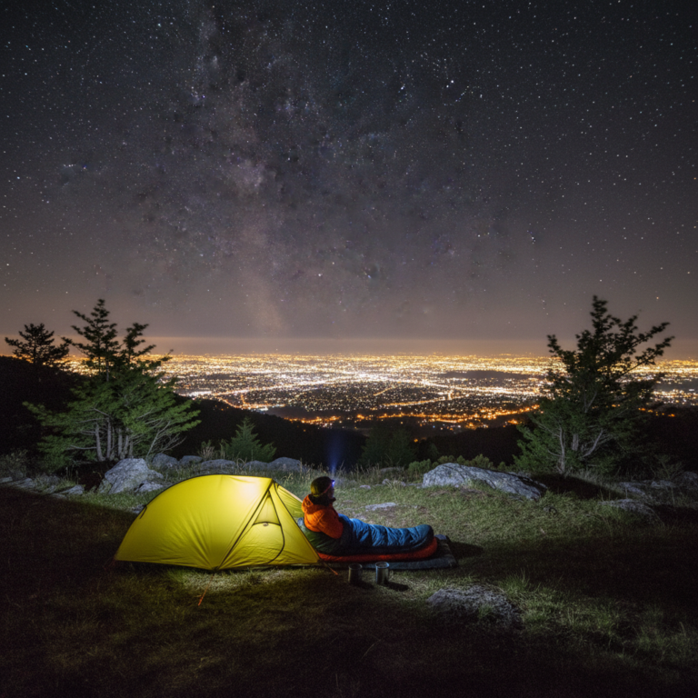
Layer 3: Emergency Shelter — Survive the Night
Hypothermia can kill in 3 hours. An emergency bivvy weighs 3-8 oz and fits in your palm — but it can keep your core temperature stable if you are forced to spend an unplanned night outside. Every solo hiker should carry one, every time.
SOL Emergency Bivvy
3.8 oz · Reflects 90% body heat · Waterproof · Bright orange for visibility · Reusable
Layer 4: Light — Never Get Caught in the Dark
Rule #1 of solo hiking: always carry more light than you think you need. A dead headlamp at sunset on a narrow trail is a recipe for a fall, a broken ankle, and a long, cold night.
Petzl Actik Core
600 lumens · Rechargeable + AAA backup · 160h burn · Red light for night vision · IPX4
Black Diamond Storm 500-R
500 lumens · Rechargeable USB-C · IP67 waterproof · 200h burn · Red/green/blue modes
Layer 5: Water — Stay Hydrated, Stay Alive
You can survive 3 days without water — but your decision-making collapses after 1 day of dehydration. A lightweight water filter lets you drink safely from any stream.
Sawyer Squeeze Water Filter
3 oz · Filters 100,000 gallons · 0.1 micron · No pumping needed · Backflushable
Layer 6: First Aid — Handle What You Can
A wilderness first aid kit is different from a home kit. You need supplies for sprains, blisters, bleeding, allergic reactions, and snake bites — situations where help is hours away.
Adventure Medical Kits Ultralight .7
5 oz · Covers 1-2 people for 1-4 days · Blister treatment · Wound care · Splint material
Layer 7: Power — Keep Your Devices Alive
A dead phone means no offline maps, no photos, and no emergency backup. An ultralight power bank adds ounces but saves your trip.
Nitecore NB10000 Gen 2
5.3 oz · 10,000mAh · USB-C PD · Carbon fiber shell · Charges phone 2x · Ultra-compact
The Complete Solo Hiking Safety Kit
Everything below fits in the side pocket of a 30L pack and weighs under 2 lbs total:
| Item | Weight | Why It Is Non-Negotiable |
|---|---|---|
| Garmin inReach Mini 2 | 3.5 oz | SOS, texting, GPS — your lifeline |
| Petzl Actik Core | 3.0 oz | 600 lumens, never get stuck in dark |
| SOL Emergency Bivvy | 3.8 oz | Survive unplanned overnight |
| Sawyer Squeeze Filter | 3.0 oz | Drink from any water source |
| First Aid Kit (AMK .7) | 5.0 oz | Handle blisters, cuts, sprains |
| Nitecore NB10000 | 5.3 oz | 2 full phone charges |
| Whistle + compass | 1.5 oz | Low-tech backup navigation + signaling |
| TOTAL | 25.1 oz (1.6 lbs) |
Solo Hiking Safety Rules
- Always tell someone your plan. Leave your route, expected return time, and what to do if you do not check in. No exceptions.
- Turn around before you have to. If weather turns, if you are slower than expected, if something feels wrong — turn around. The mountain will be there next weekend.
- Carry the 10 Essentials. Navigation, sun protection, insulation, illumination, first aid, fire, repair tools, nutrition, hydration, shelter. Every time.
- Test your SOS device before you need it. Send a test message from your backyard. Know how every button works before you are in a panic.
- Hike within your ability. Solo is not the time to push limits. Save the ambitious scramble for when you have a partner.
- Start early, finish early. Most wilderness accidents happen after 3 PM when fatigue, dehydration, and waning daylight compound.
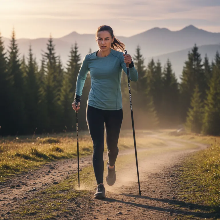
Nordic walking poles reduce fall risk by 40% on uneven terrain. For solo hikers, this is not a performance stat — it is a safety feature. A twisted ankle that is merely inconvenient with a partner becomes a survival situation when you are alone. Always carry poles on solo hikes.
What About Your Phone?
Your smartphone is a useful backup tool, but it should never be your primary safety device for solo hiking:
- Battery — GPS navigation drains a phone in 3-5 hours. A Garmin inReach runs 14 days.
- Durability — A phone dies in rain, cold, or after a 3-foot drop onto rock. A PLB is waterproof to 15 feet and rated to -20°C.
- Coverage — No cell towers = no calls, no texts, no data. Satellite devices work everywhere.
- SOS — The iPhone 14+ satellite SOS feature works only in open sky and only for emergencies. You cannot text your family or check weather.
Pro tip: Put your phone in airplane mode with GPS enabled. Use it for offline maps only. This extends battery to 10-15 hours. Keep the satellite communicator as your primary contact device.
Bottom Line
Solo hiking is one of the most rewarding experiences in the outdoors — but only if you come home. A Garmin inReach Mini 2 in your pack means you are never truly alone. At 3.5 oz and a monthly subscription less than a streaming service, there is no excuse not to carry one.
The wilderness does not care about your experience level. Prepare accordingly.
Our Top Pick
📚 See also:
- microadventures for solo travelers — Microadventures Guide
- essential bushcraft survival skills — Bushcraft Skills Guide
- packrafting for backcountry explorers — Packrafting Guide
About the Author
Alex Mercer — INWA Level 2 Nordic Walking Instructor
Certified by the International Nordic Walking Federation (INWA) since 2019, Alex has coached 500+ walkers from beginners to ultra-distance competitors. Sports science background with a focus on biomechanics, gait analysis, and evidence-based training protocols. Regular contributor to walking and outdoor publications.